

Mara River Near to Nyasurura. Jennifer Veilleux © 2015
The Mara River is found in the tropics fairly near to the Equator. The tropics are a climate zone flanked between the Northern Tropic of Cancer to the Southern Tropic of Capricorn. These latitudinal lines, approximately 23 degrees north and south of the Equator, mark the place in both the northern and southern hemisphere where the sun appears directly overhead during one of the two annual solstice events. This zone has approximately 12-hour days and does not experience snow or freezing conditions, which makes for unique hydrology and biology.
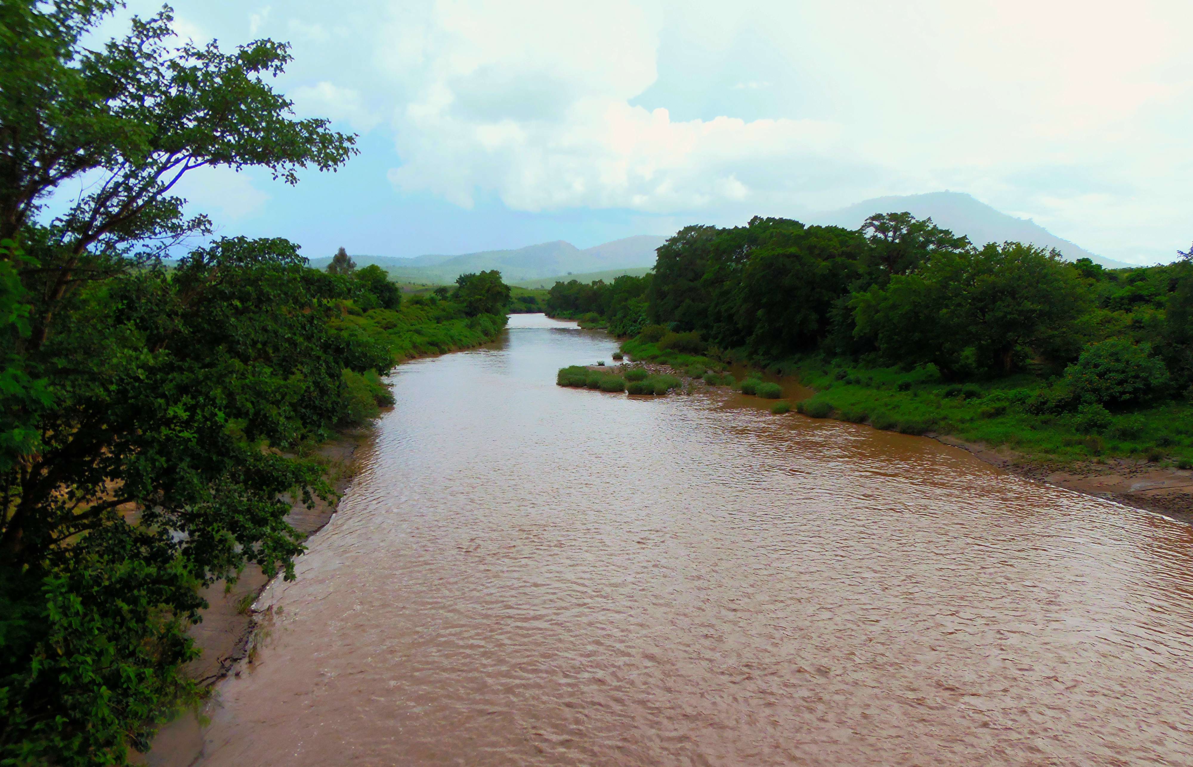
Tropical rivers behave differently from temperate rivers found in Europe or parts of North America in regards to their flow and sediment load. Rivers found in this climate zone are fed mostly by precipitation weather events (rain) rather than from snow melt. This means that the flow of a tropical river can be flashy – high water events can come on suddenly due to rainfall upstream and decrease just as suddenly within minutes or hours. Similarly, if there is a particularly dry year, water levels can drop dangerously low allowing for increased concentrations of pollutants leading to health problems or lack of enough water to fulfill all dependent needs and uses of the resources. Rain events in the tropics are related to monsoons, wind and rain events ubiquitous with torrential rainfall that can last days to weeks, flooding large areas, stripping land of topsoil, and dangerously intense – monsoons are also characterized by very dry periods.
Eight of the world’s largest rivers, in terms of discharge, are found in the tropics, although basic information is just now being collected on the science of these rivers. They are also the places where the world’s most active water and hydropower engineering development projects are now being planned and constructed. The combination of a lack of concrete understanding of the geomorphology and hydrology of these rivers and plans to dam and divert the water could spell disaster to the billions of people dependent on the river’s water resources.
The SELVA team found that the Mara River was so flashy that in the space of a few days the river could rise and fall meters, making places impassable during rainy season. Our field trip was taken just at the tale end of the dry season. One rain event occurred while we were in transit causing temporary, or ephemeral, streams and waterways to form across the southern part of the basin. In Serengeti we were told that the bridge at Kogatende was impassable two days before we arrived due to high waters. These fluctuations are important in understanding the human and ecological community use of and response to the river. Villages are built in areas where they can access the river but are not in danger of being washed away by it. Agriculture is cultivated in the flood plain where nutrient-heavy sediment is deposited during the rainy season due to heavy rains and erosion. Increased erosion due to deforestation and overgrazing have changed the Mara Wetland geomorphology, and satellite imagery shows visible differences of the wetlands extent from year to year.


Recent Comments