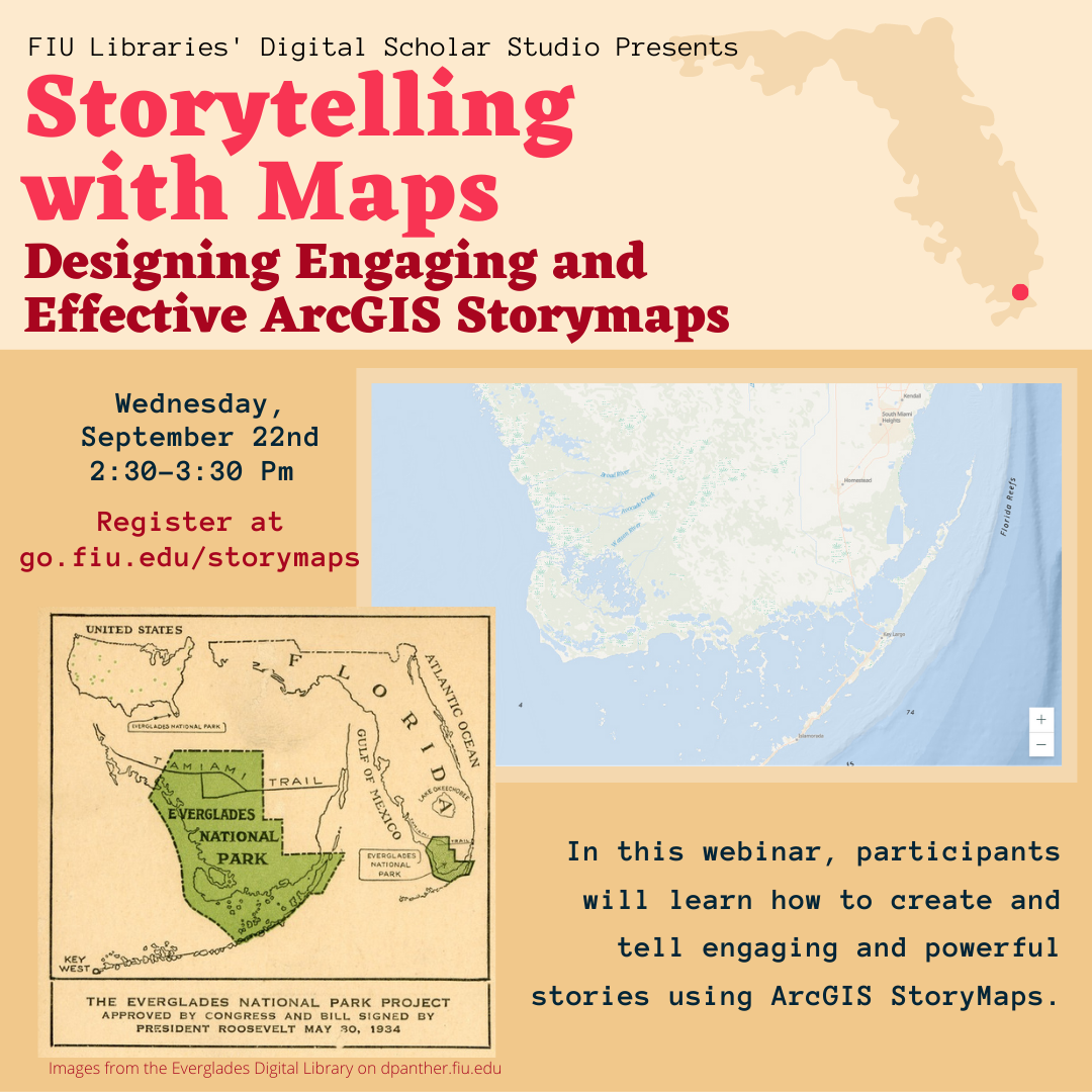
Storytelling with Maps: Designing Engaging and Effective ArcGIS StoryMaps

Coming up in the Digital Scholar Studio’s online space, Wednesday Sept 22nd, 2:30-3:30pm!
StoryMaps combine text, interactive maps, and multimedia elements to create an immersive online storytelling experience. In this webinar, participants will learn how to create and tell engaging and powerful stories using ArcGIS StoryMaps. No previous GIS experience required.
To register visit go.fiu.edu/storymaps
About the presenter:
Dr. Diana Ter-Ghazaryan is a Research Associate at the FIU GIS Center, and has been teaching and researching with GIS for over 15 years. Her interests lie at the intersection of geospatial technology, geography and digital/spatial humanities.
