Job Announcement – Remote sensing, image processing
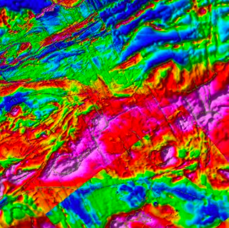
This Remote Sensing Project enables an undergraduate or graduate student with some GIS background to gain experience using state of the art geophysical software. The project is sponsored by the STATEMAP Program of the South Carolina Geological Survey and USGS. You will help update maps of South Carolina using new magnetic aerial survey data. As in Florida, the history of the ancient supercontinent, one of the greatest volcanic eruptions, and the opening of the Atlantic Ocean are concealed under thick coastal beach sands. Unlock this history and areas of earthquake risk, and potential storage sites for greenhouse gases with new remote sensing data. A student considering a career involving remote sensing should consider applying. Geology and geophysics coursework a plus, but not required.
About the project:
- Supports student for one year between January 1 and December 31, 2025 with possibility of extension. Ideal for an academic research project.
- Provides salary starting at $20/hour, $25/hour after training, 10 to 20 hours/week, flexible schedule.
- No experience required. Structural geology and geophysics a plus, but not required.
- Remote sensing and image processing experience, especially ArcGIS, a plus.
- Learn latest techniques for interpretation of gravity and magnetic survey data.
Want to learn more and apply?
- Call James Kellogg at 803-422-1696, or send resume to kellogg@fiu.edu.
Florida International University Geodesy Lab
https://geodesy.fiu.edu/
South Carolina Geological Survey
https://www.dnr.sc.gov/geology/
Andeangeophysical.com
Kellogginternational.com
Download Job Announcement (PDF)

