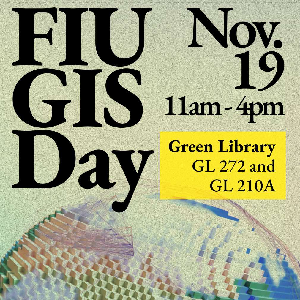
FIU GIS Day 2025
Date: Wednesday, November 19, 2025, 11am-4pm
Location: MMC, Green Library
GL 272 (GIS Center),
GL 210A (Envision Lab), GL 280 (RefWorks)
11200 SW 8th St
Miami, FL 33199
Come and learn about FIU faculty and student research and projects using Geospatial technology.
There will be research presentations, Storymaps and projects contest, demo of geospatial technology and equipment, posters, and other fun activities.
Hosted by FIU Libraries GIS Center; FIU GIS Faculty Advisory Board
GIS Day Schedule
Room GL 210A
11:00-11:30 am
Title: Cloud-Native Geospatial: Incremental Improvement or Fundamental Paradigm Shift?
Dr. Levente Juhasz is the Research Associate Professor and Assistant Director of Geographic Information Science at the FIU GIS Center. His research explores the intersection of spatial data science, geospatial analytics and GeoAI to address complex urban, environmental and societal challenges. He is passionate about applying modern computational tools, including cloud-native technologies, to make geospatial analysis more scalable, accessible, and reproducible.
GET TICKET (free entry)
11:30 -12:00
Title: Mapping IUU Fishing Risk in West Africa: A Crime Science Approach using AIS Disabling Data
Dr. Stephen F. Pires is an associate professor in the Department of Criminology & Criminal Justice at Florida International University. Dr. Pires specializes in the study of the illegal wildlife trade, focusing on commonly poached species (i.e. hot products), illicit markets, and the organization of illegal trade networks. His research extends to other areas of crime, such as homicides, kidnappings for ransom, and other violent crime, using spatial analysis and other methodological approaches to comprehensively understand how opportunity structures enable criminal activity.
GET TICKET (free entry)
12:00 – 12:30
Title: “Geospatial Frontiers: How AI is Transforming the Landscape of GIS Research and Practice”
Dr. Jenn Gebelein is the Director for AI Integration and Faculty Success in FIU’s Center for the Advancement of Teaching and an Affiliated Research Professor in the Department of Earth and Environment. A geographer by training, Dr. Gebelein’s research explores the innovative intersections of spatial analysis, environmental systems, and human behavior—ranging from the study of vegetation dynamics and Cuban landscapes to geospatial patterns in crime. Her current work bridges these foundations with artificial intelligence, focusing on predictive analytics, user experience, and the ethical and pedagogical dimensions of AI integration in higher education. Drawing from more than two decades of research and academic leadership, she brings a unique perspective on how AI is reshaping the tools and frontiers of geographic inquiry.
GET TICKET (free entry)
12:30 – 1:00 Break
1:00 – 1:30
Title: Illegal, Unregulated, and Unreported (IUU) Fishing Dashboard
Presentation Links:
Javier Alvarez Kuan serves as research coordinator at FIU’s Jack D. Gordon Institute for Public Policy (JGI). In this role, he leads and conducts public policy research on security issues related to transnational crime, unreported, and unregulated (IUUx) activities, and foreign affairs. Responsibilities include coordinating the development of geospatial information systems products and partnerships with both private and public sector. Prior to joining the FIU team, Mr. Alvarez recently served as a research assistant for the Congressional Research Service’s (CRS) Foreign Affairs, Defense, and Trade Division and is a veteran of the U.S. Coast Guard.
GET TICKET (free entry)
1:30 – 2:00
Title: Remote Sensing Resources at FIU’s GIS Center with Applications in Forest Ecology
Dr. Brittany Harris is a Research Associate in the GIS Center where she both conducts research in plant ecology and manages remote sensing resources for the University. Dr. Harris specializes in disturbance and recovery of plant & animal communities across South Florida and the Caribbean, with a special focus on fire disturbance. She uses remote sensing tools, like multispectral satellite imagery, aerial imagery, and laser scanners (i.e, LiDAR) to map 3D forest change across space and time to better understand how disturbance and management efforts influence interacting plant-animal communities.
GET TICKET (free entry)
2:00 – 2:30
Title: Beyond Automation: Building Agentic AI Workflows for Geospatial Research at FIU
Dr. Boyuan (Keven) Guan is the Lead Digital and GIS Project Developer at Florida International University’s GIS Center, where he oversees and implements advanced AI-driven research data systems such as EnviStor and the AI-Agent Workflow framework. His work bridges Agentic AI, geospatial data management, and cloud computing to automate environmental data collection, analysis, and sharing. He holds a Ph.D. in Computer Science from FIU, and his work has been featured in IEEE Big Data, ACM SIGSPATIAL, and JCDL.
GET TICKET (free entry)
2:30 – 3:00
Title: A GIScience Presentation without Maps: A Focus on Praxis in Indigenous Mapping
Dr. Genevieve Reid, an Assistant Professor of Geography in the department of Global and Sociocultural Studies, is the director of the undergraduate certificate in Applied Geographic Information Systems (GIS), and a member of the GIS Advisory Committee at Florida International University. She specializes in the intersection of critical GIScience, digital geographies, Indigenous geographies, and community geography. Her research focuses on critical issues, including data justice, Indigenous data sovereignty, and geospatial ontologies. Reid emphasizes critical pedagogies and knowledge co-production in her work. She collaborates with non-governmental organizations, government agencies, and local communities in Miami and Puerto Rico, as well as with the Eastern Cree communities in Northern Canada.
GET TICKET (free entry)
Room GL 280
Student Project Presentation from 2:00 – 4:00
E-posters will be featured in Room 272 of these student presentations.
2:00 – 2:20
Title: China Influence in Latin America
Presentation Links:
Martin Brown is a graduate student in Global Affairs at Florida International University, pursuing the Globalization and Security track. He currently serves as an Open-Source Analyst at the Jack D. Gordon Institute, where he aids in managing the Security Research Hub’s database on Chinese activities in Latin America and the Caribbean. In this role, he has updated analysis on PRC activity in the Panama Canal, published a dataset on Chinese energy investments in Latin America, and delivered research at U.S. Southern Command and NGA’s GEOINT forum. Furthermore, he has published in The Diplomat, Infobae, and Americas Quarterly.
2:20 – 2:40
Title: Transnational Crime Concerns in Chile
Presentation Link:
Myah Havertong, M.S., serves as a Graduate Research Assistant for the Jack D. Gordon Institute of Public Policy. She is a doctoral student studying International Crime & Justice, from FIU’s Criminal Justice & Criminology Department. Her research focuses on Transnational Crime organizations and their use of violent extremism. Pairing her professional interests with JGI, Myah works alongside the research team to conduct open-source research and analysis on various projects involving transnational criminal organizations, the role of China in Latin American affairs, and assists with other events and projects outside of these projects. Prior to this research role, Myah was an adjunct instructor, teaching Introduction to Criminal Justice. She is passionate about learning, teaching, and is excited for the projects to come.
2:40 – 3:00
Title: The Role of Topography on Crime
Emilie Christiansen, M.S., is a doctoral student in the International Crime and Justice program at FIU and a Graduate Teaching Assistant in the Department of Criminology and Criminal Justice. She earned her M.S. in Criminal Justice and B.S. in Criminal Justice from Florida International University, as well as her Bachelor of Law degree from the University of Southern Denmark. Her research interests include environmental criminology, crime mapping, and situational crime prevention, with a current focus on how topography and the built environment shape opportunity structures and offending behavior.
3:00 – 3:20
Title: At The Heights of Inequality: A Spatial Analysis of Climate Gentrification in Miami-Dade County
Patrick Davenport is an Information Technology student at Florida International University specializing in GIS and data science. His academic interests center on the intersection of climate resilience, urban planning, and public policy. His research examines how spatial analysis and data science can advance more equitable and resilient urban systems. Patrick’s work reflects a broader commitment to applying spatial thinking to questions of governance and sustainable futures.
3:20 – 3:40
Title: Redland Red Lines: Using GIS to Design Productive Corridors in Miami-Dade’s Agricultural District
This presentation uses the Redland Agricultural District in south Miami-Dade County as a testbed for integrating GIS with landscape architecture. Starting from parcel-level land-use and mobility data, the work builds a layered spatial inventory of agriculture, cultural destinations, transit, canals, and ecological habitats. Overlaying these datasets reveals patterns of fragmentation and opportunity that inform a framework of “red lines”, pedestrian and nature corridors, along with complementary tourist and industrial routes. The talk walks through the workflow from data collection to corridor selection and site-scale design, showing how GIS can guide interventions that protect productive landscapes, expand non-car access, and support biodiversity at the metropolitan fringe.
Juan Rosas is a Master of Landscape Architecture student at Florida International University whose work explores the intersection of geospatial analysis, productive landscapes, and mobility systems. Graduate studio projects use GIS to understand how agricultural districts, transit infrastructure, and ecological networks interact at the edges of urbanization. Earlier research in the Redland Agricultural District investigates how spatial data can inform corridor-based design strategies that support local farming, tourism, and biodiversity. Recent studio work extends this approach to transit-oriented corridor design, testing how complete streets, multimodal transit, and working landscapes can be aligned to shape more equitable and ecologically resilient growth. Rosas is also developing a fitness and health application, reflecting a broader interest in how spatial and behavioral data can shape healthier environments.
3:40 – 4:00
TBA